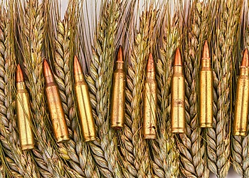
Water is at the center of all life, and therefore, all economies. Because of this, it is no surprise that water and conflict can also be interlinked.
Water access can be affected by conflict but can also cause it. With increasing water scarcity and the impacts of climate change, the risk of conflict is exacerbated.
In this context, managing water resources effectively and sustainably is paramount to decreasing competition and contributing to local peace. And this begins with monitoring water resources.
With satellites orbiting the earth and collecting large amounts of data daily, including water-related ones, remote sensing has a pivotal role in bridging the data gap in hard-to-access areas.
WaPOR, which stands for Water Productivity through Open-access of Remotely-sensed derived data, is a tool created by the Food and Agriculture Organization of the United Nations (FAO) that uses open access satellite data to monitor agricultural areas, including in zones that are conflict-affected. This data is freely accessible and is used by FAO and national institutions to support initiatives that aim to avoid conflict between different water users and to identify infrastructure damaged because of it.
Here are four examples where WaPOR data has helped monitor water resources to reduce conflict and restore access to this precious resource when conflict has cut it off.
1. Syria
In 2019, FAO assisted Syria’s Ministry of Water Resources (MoWR) and General Organization of Remote Sensing to use WaPOR data to assess the damage to the country’s irrigation infrastructure caused by the ongoing conflict. Dams, pumping stations, wastewater treatment plants, field irrigation systems and other infrastructure were either destroyed or severely damaged.
Using WaPOR data, technicians from MoWR analysed areas with irrigation infrastructure by tracking plant growth and monitoring the water used by plants. Given that Syria is a semi-arid country, when plant water use was detected, this indicated that irrigated agriculture had remained intact.
Being able to take stock of the extent to which national investments in agriculture had been affected by the conflict is a crucial step in the planning for rehabilitation. These estimations were used by MoWR to guide their reconstruction plans and fundraising needs.
2. The Sudan
In April 2023, armed conflict erupted in the Sudan and is ongoing. Widespread insecurity and unsafe conditions have disrupted agriculture including the distribution of seeds, field preparation and cultivation.
In this context, FAO used WaPOR data to compare the 2023 growing season average with those of the previous five years to estimate the impact that the conflict was having on agricultural production.
“Monitoring the performance of the agricultural season was useful for assessing the food security situation in the country and for updating the Integrated Food Security Phase Classification figures, which are used for planning and programming food security interventions,” states Elwathig Mukhtar Hamid, the then Assistant FAO Representative in the Sudan.
The assessment displayed a 51% drop in cultivated areas at the beginning of the season compared to previous years. This was largely due to disruptions in markets and financing mechanisms which allow the farmers to procure agricultural inputs. FAO planned a high-quality seed distribution in August, which improved the situation and allowed more farmers to plant in time for the growing season.
This goes to show that remote sensing data can be used to monitor the impact of conflict on agriculture but can also support humanitarian response and show the results of interventions.
3. Mali
In Mali, FAO is working with the Ministry of Rural Development and the World Food Programme to evaluate the impact of ongoing conflict on the country’s agricultural sector. The project is using WaPOR data and tools to elaborate a way of systematically performing these assessments, especially in areas unsafe for local follow-up.
In addition to the persistent climate of insecurity, water scarcity is causing growing competition between the local users. Ponds, rivers and wells are drying up as a result of drought and desertification.
Related Articles: Hands That Heal Our Soils | As Cities Grow Across Africa, They Must Plan for Water Security | Health Flows From Safe Water | Soil Health, Fertiliser Use and Agricultural Sustainability | Strengthening Urban Food Systems in Times of Crisis | Can We Fix Our ‘Broken’ Food Systems? | Reimagining Generational Gaps to Transform Africa’s Agri-food Systems | Soil Health is Key Component of Healthy Food System Says Jeff Tkach of Rodale Institute | What Is Happening to Our Soil?
The Water, Peace and Security (WPS) partnership is using WaPOR data as a part of its Global Early Warning tool to generate predictions of conflict based on factors linked to water, agriculture and underlying tensions.
In Djenné, Mali, WPS is using this data to implement conflict resolution measures such as community dialogues in areas where there has traditionally been competition over water resource use.
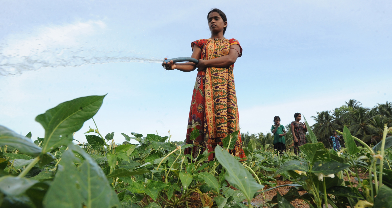
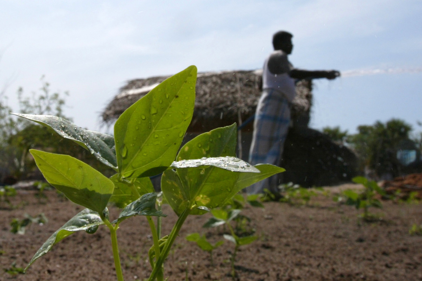
4. Sri Lanka
FAO’s Knowing water better (Knowat) project in Sri Lanka, worked to clarify issues of water tenure, another potential source of conflict. WaPOR data helped perform water accounting which allows the mapping of water access and entitlement and the relationships around this resource. This is the first step to understanding the distribution and users of water. Ensuring equitable distribution of water resources requires knowing who can access water, but also how much water there is and how much different stakeholders are using.
The Malwathu Oya river basin in Sri Lanka alternates between floods and water scarcity, which is exacerbated by climate change and poor water management, such as overwatering crops. WaPOR data supported irrigation managers in the river basin to assess the agricultural season and plan the following one, in collaboration with local farmers. Being able to track water productivity, field extension workers can advise farmers on the danger of overwatering, both for the basin’s resources but also for the productivity of the farm.
Better irrigation practices and a participatory process has led to more water available for all and better yields, thereby reducing stressors and competition over water resources.
Data is the starting point of action. By leveraging tools like WaPOR, knowing the status of water resources helps plan interventions and inform decisions to reduce the chances of conflict and increase the prevalence of peace.
** **
![]() This article was originally published by the Food and Agriculture Organization of the United Nations (FAO) and is republished here as part of an editorial collaboration with the FAO.
This article was originally published by the Food and Agriculture Organization of the United Nations (FAO) and is republished here as part of an editorial collaboration with the FAO.
Editor’s Note: The opinions expressed here by the authors are their own, not those of Impakter.com — In the Cover Photo: By leveraging tools like WaPOR, knowing the status of water resources helps plan interventions to reduce the chances of conflict. Cover Photo Credit: © FAO/Ishara Kodikara.