Disasters typically hit hardest at the most vulnerable populations among us. Such people often have the poorest access to information and the weakest tools to help them prepare or recover. In developing countries, this includes smallholder farmers, who face worsening climate-related disasters. Recurring but unpredictable floods and droughts threaten their food production, livelihoods and safety. And solutions are often vague and hard for local farmers and decision makers to access.
As the world eyes the UN climate talks, innovations that can help farmers are again in the spotlight. Decision makers have a chance to create new kinds of partnerships, bringing public and private sectors together to develop and scale up data-based tools to help the most vulnerable. With thousands of satellites orbiting our planet, we already have part of the solution.
Data and digital technology can help farmers and decision-makers better manage the impacts of extreme events. With satellite data, we can better understand flood impacts, predict drought damage, or assess crop loss. Large-scale solutions hinge on making data available – and usable – to those facing on-the-ground decisions.
Our research partnership is developing solutions that show we can link data collected via satellite with historical records to forecast, reduce and respond to disaster risks. There are five promising solutions that can be scaled up to improve both short-term disaster relief and long-term climate resilience.
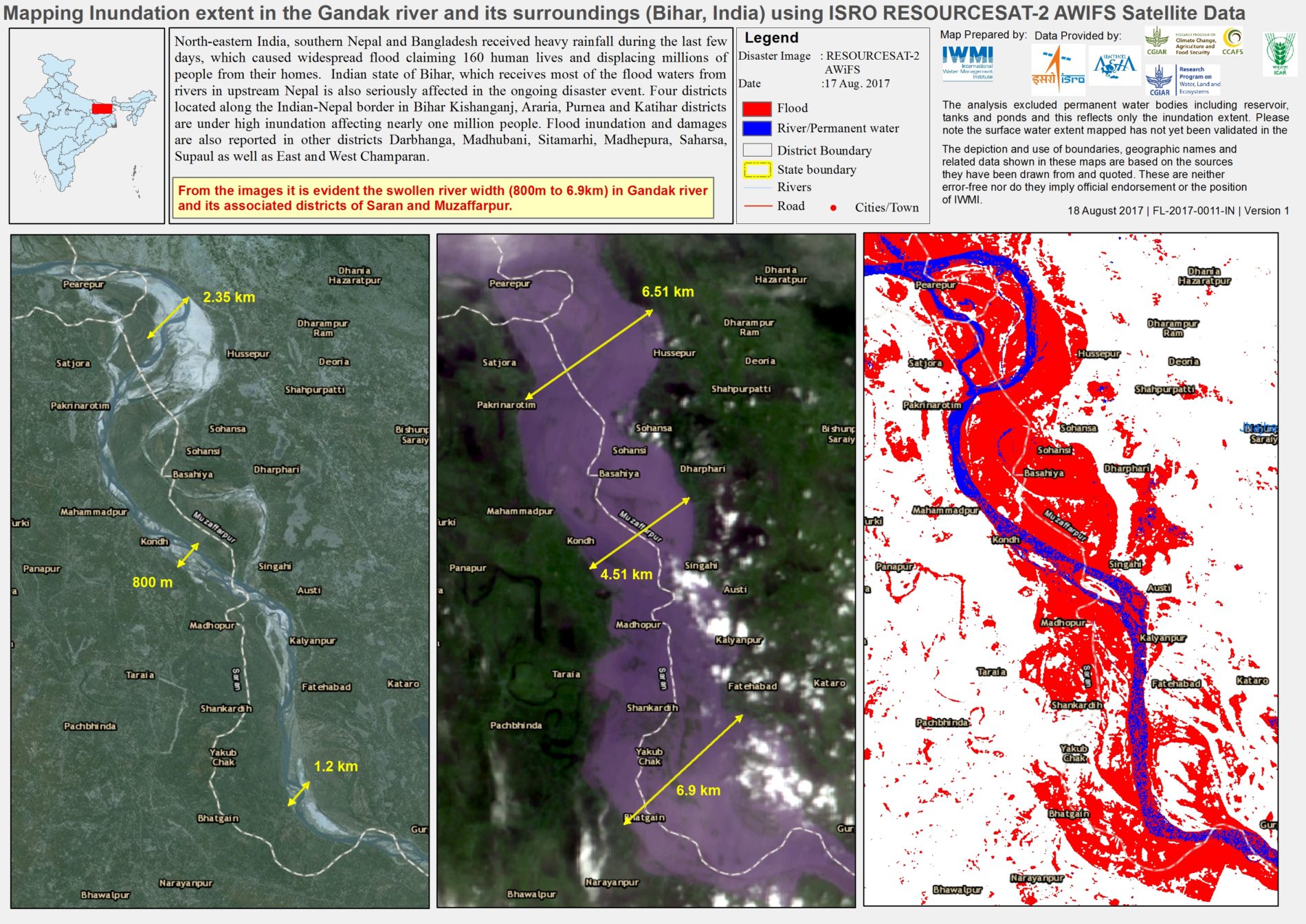
In the photo: Satellite images showing the flooding extent in the Gandak River following the 2017 Indian Monsoons. Photo Credit:IWMI
1) Providing insurance against crop losses caused by floods
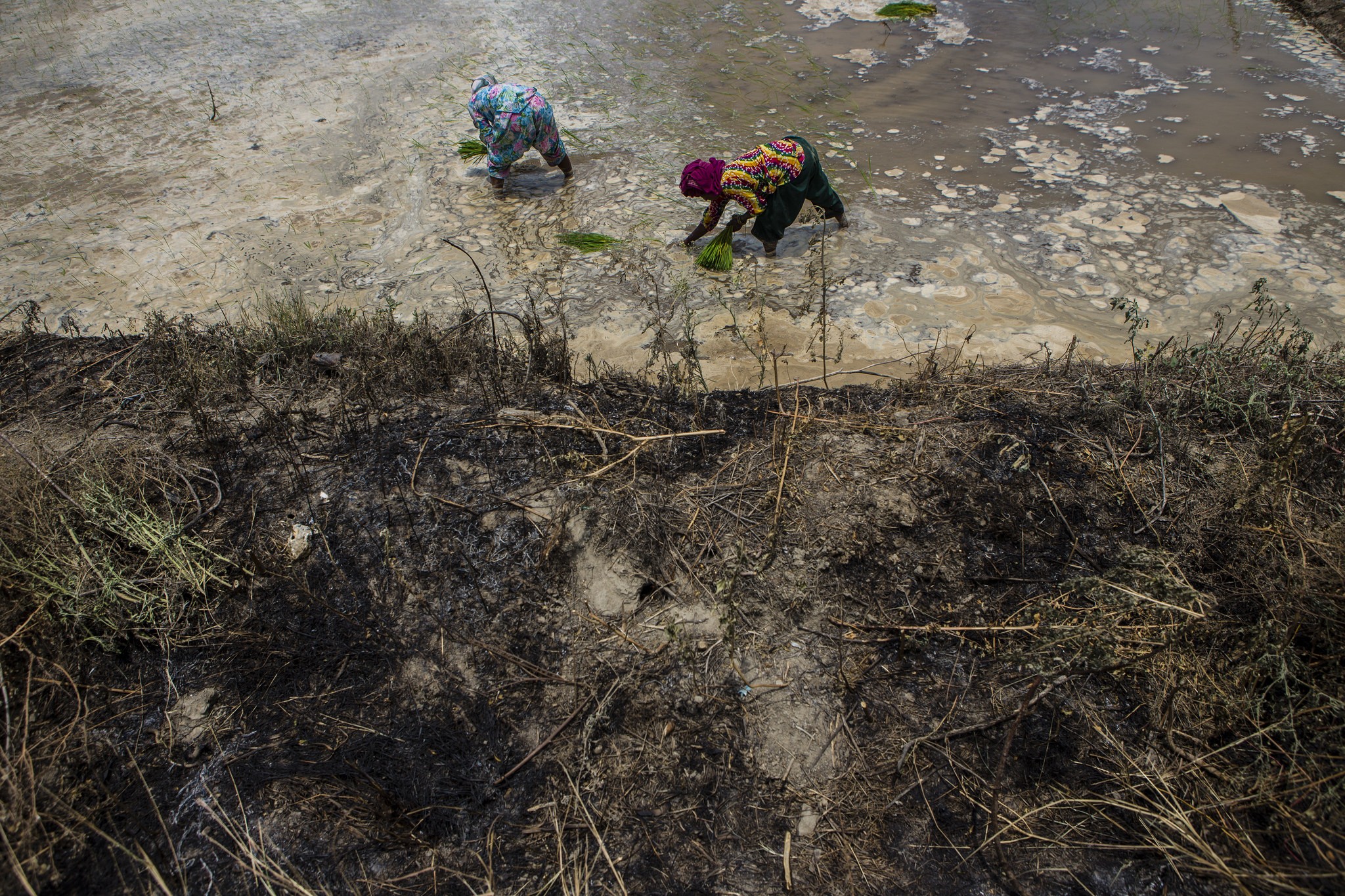
In the state of Bihar, India, two-thirds of the population live under the threat of floods that regularly wipe out farmers’ crops, destroying their livelihoods. In a bid to protect farmers, the Agriculture Insurance Company of India agreed to offer flood insurance pay-outs underpinned by satellite data during the 2017 monsoon season.
This is index-based flood insurance, which combines satellite images with hydrological modelling. If rainfall reaches a level at which flood losses are deemed likely, then satellite images are used to verify the depth and duration of the flood. This way, the insurance company is able to quickly, accurately and inexpensively identify exactly which farmers are eligible for what pay-out. These successful pilots show potential for similar programs across countries and regions.
2) Monitoring droughts with satellites for faster disaster relief
Drought affects more people than any other physical hazard. To allow national authorities to assess exactly when and where disaster relief efforts are needed to help farmers affected by drought, the South Asia Drought Monitoring System launched in 2016.
Every eight days, the system publishes detailed maps showing drought severity across Afghanistan, Bangladesh, Bhutan, India, Nepal, Pakistan and Sri Lanka. The maps depict seven categories, from healthy vegetation to extreme drought, as identified according to a drought severity index based on historical satellite data. Drought relief can then be deployed more effectively. Scaling efforts are underway to bring this solution to Southern Africa, the Middle East and Southeast Asia.
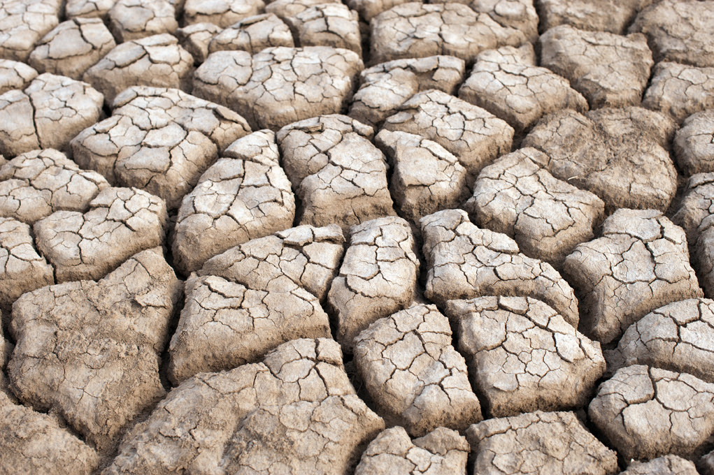
In the photo: Dried up land from a drought Photo Credit:IWMI
3) Using satellite data to predict droughts
Almost more important than knowing the current drought situation is being able to predict droughts. Building on the monitoring system described above, is a drought early-warning system developed for six districts in India. Also based on satellite data, it accurately estimates water deficits in the soil and indicates future drought risk in exact locations. Local and national authorities can then brief farmer associations and communities on possible mitigation measures, such as sowing drought-tolerant crops and using soil and water conservation methods.
4) Using satellite data to forecast floods
The Niger-Benue River Basin in West Africa is regularly devastated by severe floods. Limited monitoring systems are on the ground, making it difficult to forecast flood risks. Using satellites, we are able to remotely measure how much water is in the rivers. This has enabled us to accurately predict downstream water flows and potential floods five days in advance, allowing local authorities to send out warnings.
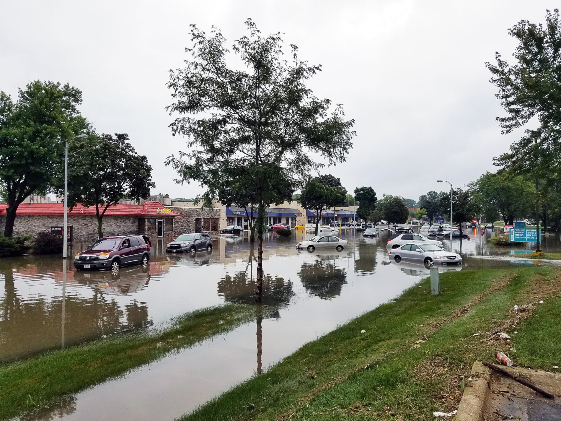
In the photo: Cars in a flooded street. Early warning systems help to manage disasters. Photo Credit: jim gade
5) Guiding emergency flood response through satellite maps
Finally, we can use satellite technologies to better manage flood disasters. For example, in August 2017, incessant rains caused severe flooding in northern India and southern Nepal, affecting two million people. The Sentinel Asia initiative developed high-resolution maps that helped guide relief efforts and enabled officials to locate vulnerable populations and estimate crop damage early on. Further a prototype concept is being developed using weather forecast data to provide disaster preparedness funds before disasters strike. Similar solutions could work across the globe with the right investment.
All these solutions show that satellite data can help boost climate resilience for the communities that need it the most. However, strong partnerships, – like those we are advocating at the climate meetings – among scientists, space agencies, and local, national, and regional decision makers are key. Through these partnerships, we have a chance to successfully predict, manage and respond to climate-related disasters, helping vulnerable communities and the world at large.