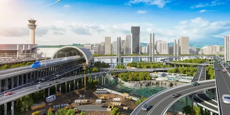
- Many US infrastructure systems were originally created for the population and climate of the mid-20th century and are way past their prime.
- After severe flood events disabled I-78 in Pennsylvania, the Department of Transportation has stepped up proactive efforts to mitigate damage to infrastructure caused by climate events.
- Key to infrastructure modernization is digital technology: cloud-based workflows, predictive software, Autodesk AutoCAD, GIS mapping systems, roadway sensors, rapid construction, and digital project delivery can help respond to changing conditions.
On August 4, 2020, an intense rainstorm swept through Lehigh County, PA, unleashing more than seven inches of water in around eight hours, inundating a low, concrete-bounded section of I-78. The sudden, intense microburst—the type of unpredictable, torrential storm becoming increasingly common across the US—closed the eastbound lanes for hours and backed up traffic for miles. The stormwater system beneath the highway simply couldn’t keep up. The impact extended to adjacent communities, which were down until repairs could take place.
“We need to think about resiliency there, because if that event happens again and you get a 500-year or a 1,000-year [flood] event, we need to be able to handle that,” says Richard Runyen, chief bridge engineer and director of the Bridge Bureau at PennDOT’s Central Office in Harrisburg. “We can’t have Interstates shut down due to roadway or bridge damage for long periods of time.”
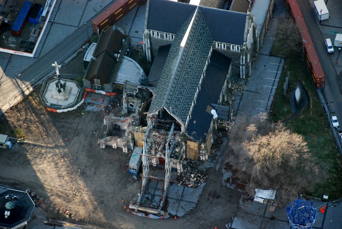
The problem, of course, is not limited to Pennsylvania, nor to stormwater systems. Around the world, infrastructure is failing. From crumbling dams and bridges to fractured railways and tunnels, many infrastructure systems originally created for the population and climate of the mid-20th century are way past their prime. (Governments across the globe are thinking about how these systems are going to maintain and survive in the next 100-plus years; in the US alone, the government is investing $3.5 trillion (PDF, p. 6) in stimulus packages for “infrastructure and industries of the future—including clean energy.”) Climate change is exacerbating the deterioration, causing bridge failures, “sun kinks” on railway tracks, water treatment plant disruptions, and road buckling. Extreme weather events are wreaking havoc on infrastructure and entire transportation systems.
These systems are failing partly due to their age, Runyen says. In the US, projects built in the 1960s and 1970s, an era some call the “golden age of infrastructure,” relied on antiquated design models and construction standards. Now, many of these systems require maintenance or outright replacement. In the US, levees are 50 years old on average and more than 70,000 of the country’s 220,000 bridges require rehabilitation or replacement.
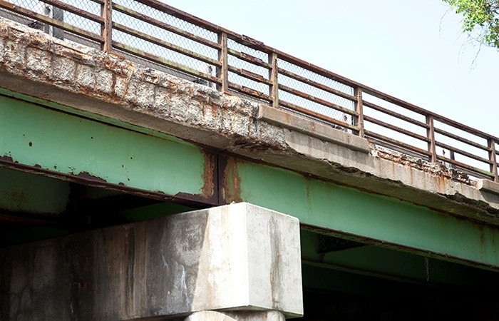
The more challenging issue, says Louis Feagans, managing director of system performance and transportation policy at the Indiana Department of Transportation, is that in the past 50 years, the world has dramatically changed, and funding for state agencies is harder and many states are scrambling to catch up to evolving technologies and infrastructure needs. Roads, highways, and bridges were created when fossil fuels ruled and cars and trucks had much lower MPGs, and with far fewer cars, trucks carrying lighter loads, less-intense rainfall, and cooler temperatures.
There is a critical need to update infrastructure systems sustainably, accounting for the impacts of climate. “Not just to fix the problem,” Runyen says, “but to make sure what we’re doing is adding life to these structures. Some folks don’t like that because it seems like overkill right now. But we try to explain that in 20 years it won’t be overkill. That’s the challenge.”
Buy Autodesk Architecture, Engineering & Construction Collection and Save as much as 8,735/year!
Data collection and modeling
According to Feagans, the key to infrastructure modernization is digital technology: cloud-based work-sharing, a common data environment, BIM and digital twins, predictive modeling software, Autodesk AutoCAD, GIS mapping systems, roadway sensors, and rapid construction approaches such as design for manufacture and assembly (DfMA) that can respond to changing conditions in a cost-efficient and site-specific way.
For many states, the first step is getting a better handle on infrastructure assets. Before a proposed gas tax in 2017, Feagans says Indiana state officials requested a tally of the number and condition of bridges, road miles, and large and small culverts.
That data is readily available via the Indiana Total Asset Management portal: The state has 29,043 lane miles; 5,763 bridges; 8,858 large culverts; and 50,000 small culverts; with their age, condition, and location preserved in the cloud. Better inventory translates to better roads. In the past five years, the percentage of roads in “poor” condition has declined from 10% to 5%; bridges have gone from 5% to 3%.
“Eight, nine years ago, we didn’t have all the data in one place,” Feagans says. “It was in file cabinets, it was in maintenance software, and a lot of it was on an Excel spreadsheet. It was everywhere. One of the first things we started working on was to centralize and start having one source of data and bringing that data into an asset GIS layer-type program, so it’s at everybody’s fingertips.”
Data modeling has also helped INDOT prepare. Recently, the state began a rainfall and stream study to better assess flood risk using GIS data from the US Geological Survey. INDOT has also re-assessed traffic flows and invested in dTIMS modeling software to rapidly iterate cost-bound scenarios for pipe, bridge, and road repairs.
Asset prioritization and risk assessment
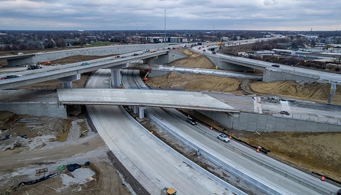
The long-term vision of these efforts is to give designers, engineers, planners, hydrologists, and asset owners the data to reliably assess risks and improve the resiliency of future designs.
More immediately, the goal of infrastructure remediation is to develop a better way of sustaining existing infrastructure. The message from the Federal Highway Administration, Runyen says, is, “If you don’t have to replace the whole thing, back off and rebalance your portfolio. And that’s what we’re really focused on right now.”
Out of an overall infrastructure budget of more than $10 billion, PennDOT’s goal for new construction is just $2.8 billion. But for maintenance and rehabilitation efforts, technology provides important insights into asset prioritization and emergency response, revealing roadways with the highest traffic volumes; routes providing access to schools, hospitals, and power plants; and costs for projects across their lifespans.
“Not every bridge needs to be built resiliently,” Runyen says. “But there are certainly key structures out there we can’t afford to lose every couple of years because they flood. And that’s where it’s really worth the money.”
One example of asset prioritization in practice is for bridge maintenance, particularly after microbursts. A software tool called BridgeWatch provides a precise picture of where heavy rainfall is occurring, reducing emergency crew response times. “It’s helping us react accordingly, sending our resources to the right places at the right times,” Runyen says.
RELATED ARTICLES: Rebuilding Notre Dame | Embracing Sustainable Substitutes for a Circular Economy | How One Startup Is Driving the Rail Industry to a Greener Future |
Using analysis, the state can take proactive measures, including diverting water flows from vulnerable bridge piers, modernizing underground pipe systems, or clearing sediment deposits. “It’s almost like telling the future,” Runyen says. “But that’s what we have to start doing, preparing for the unknowns.”
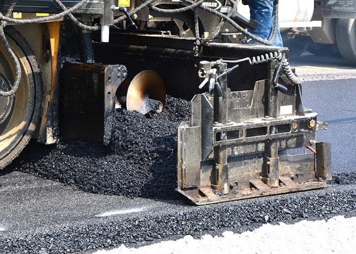
INDOT, with a total budget of $4.3 million, has developed 12- and 20-year lifecycle strategies for pavement maintenance: Less-intensive repairs, such as crack sealing and patching, are assigned to earlier years; and more intensive work, such as asphalt overlays, occurs near the end of the timelines. Investments in bridge and culvert remediations also affordably extend the longevity of existing assets.
Feagans compares preventative maintenance protocols to routine car tune-ups: “If you don’t change the oil, rotate the tires, you’re going to have issues.”
Building for the Future
At some point, remediation ceases to be cost-effective. Planners, hydrologists, designers, and engineers are recalibrating historic projections for extreme weather events, anticipating climate changes and more severe rainfall. Infrastructure systems will need to withstand extensive damage, preventing roadway shutdowns or loss of life. Typically, stormwater catch systems for Pennsylvania interstates are designed for 50-year flood events, but will likely need to be designed for more severe 500-year floods.
“We’re not on a nice, gentle [climate change] curve anymore; we’re really ramping up,” Runyen says. “And that’s what we have to keep in mind: Things are going to be changing exponentially.”
Resilient design strategies include selecting more durable materials, raising roads and bridges, siting roads farther from river corridors, and changing the configuration of structural elements, among others.
New methods of modeling and testing material strength are being developed. In partnership with Purdue University, INDOT is evaluating sensors that can detect concrete setting firmness. State-commissioned engineers are also testing the elasticity of pavement applications using falling weight deflectometers (FWD) to determine resilience under heavy loads.
Developing methods to curb erosion near bridge embankments, dams, and levees is another active area of research. To protect bridge-abutting roadways susceptible to washouts, PennDOT hired researchers at Lehigh University to evaluate backfill construction techniques. One approach applies a reinforced configuration of coarse aggregate, rock lining, and geosynthetic wraps behind bridge abutments. The tightly bonded matrix helps hold backfill material in place and keeps roads functioning during and immediately after floods.
“You look around the city of Venice in Italy, they have huge pieces of concrete out protecting it from flood surges,” Runyen says. “That’s all about energy absorption, keeping water away from sensitive foundations. But if the flood is large enough, you start to lose those protective stones. So we’ve done research on using different materials to create a matrix, if you will, that stays in place longer, but is also environmentally sensitive.”
Funding from the Infrastructure Investment and Jobs Act may help accelerate research efforts. Indiana recently received $600,000 in federal appropriations through the bill’s PROTECT program, supporting resilience planning for surface transportation. PennDOT expects to receive an additional $50 million a year from the program.
“The more organizations embrace advanced digital tools and workflows, the better prepared they will be to face the challenges posed by climate change and extreme weather events, extend the life of existing structures, and prepare for the challenges of the future.”—Richard Runyen, PennDOT
Both states are a long way from predicting the long-term cost, energy, human life, and carbon savings. It takes time to test new bridges and roadway designs, vet materials, and develop guidelines for resilient assets. But it’s a leap Runyen says is well past due.
“As engineers, we have to get away from our comfort zone,” he says. “Resiliency is that real push to start thinking beyond what we’re designing for today. In other words, the notions of resiliency and optimizing technology need to go hand in hand: The more organizations embrace advanced digital tools and workflows, the better prepared they will be to face the challenges posed by climate change and extreme weather events, extend the life of existing structures, and prepare for the challenges of the future.”
Editor’s Note: The opinions expressed here by the authors are their own, not those of Impakter.com — Featured Photo Credit: Autodesk.


